Results
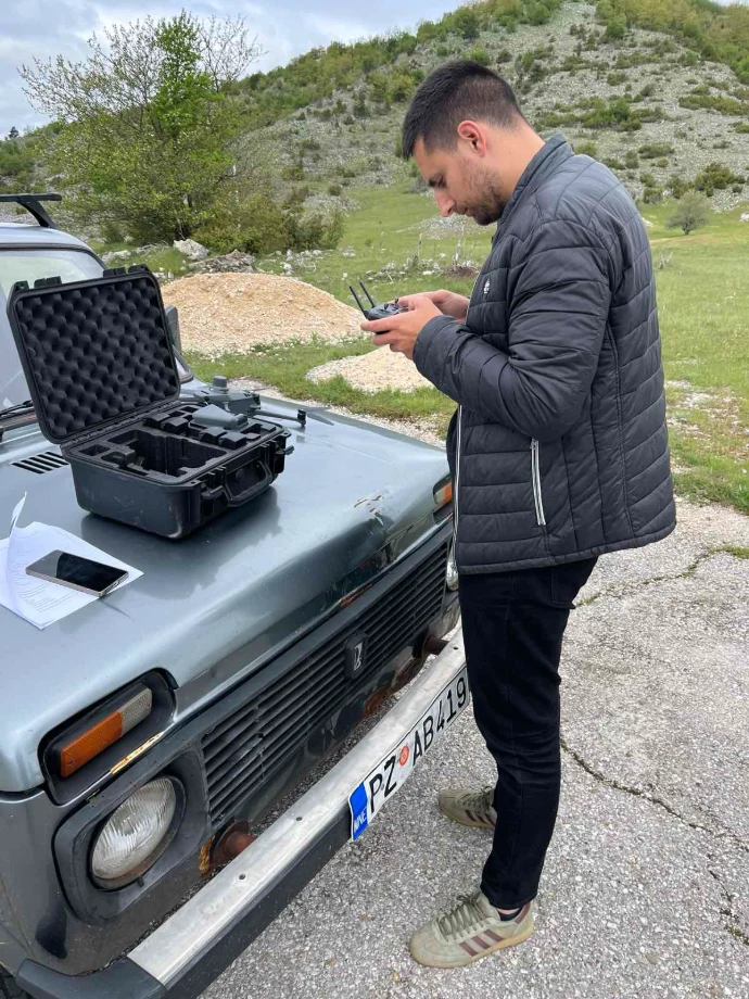
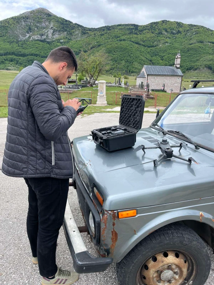
As part of the implementation of this project, the project team successfully conducted field research and multiple recordings of selected locations in the area of the village of Brezna, municipality of Plužine, using unmanned aerial vehicles (UAV).
After a detailed tour of the Donji Brezna, Potprisoje and Gornja Brezna areas, five priority pilot zones were defined that represent the various natural and anthropogenic characteristics ofa this area. The selected locations include areas threatened by soil erosion, areas of former industrial activities, significant water resources, energy infrastructure, as well as areas rich in natural vegetation.
For each of the defined locations, several UAV surveys were carried out in different time periods, which enabled the collection of high-resolution spatial data and the monitoring of changes in the field. A total of 15 recording missions were carried out, and the collected data represent the basis for further processing, GIS analysis and development of the Proof-of-Concept system.
Recorded material is organized and analyzed through a GIS platform based on QGIS/QField Cloud technology, which enables review, management and comparison of data collected during different phases of the project.
The implemented activities represent an important step towards the development of a modern system for monitoring natural resources, infrastructure and potential risks in rural areas using a combination of UAV technology and geographic information systems (GIS).
Attached to the announcement are photos from the field activities, as well as a video of a UAV recording at location of one project pilot zone.
PILOT ZONE
Preparation for the start of UAV recording.
UAV ON THE MISSION
UAV recording at location of one project pilot zone
PILOT ZONE
Completion of the UAV recording.